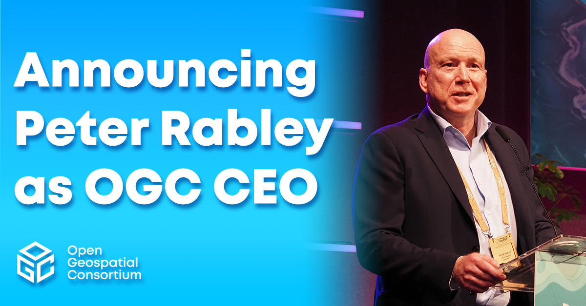
OGC announces Peter Rabley as new CEO
Peter Rabley will build on OGC’s 30 year history while responding to the pressing need for the consortium to be agile at a time of rapid technological and societal change.


The LAS file is intended to contain LIDAR (or other) point cloud data records. The data will generally be put into this format from software (e.g. provided by LIDAR hardware vendors) which combines GPS, IMU, and laser pulse range data to produce X, Y, and Z point data. The intention of the data format is to provide an open format that allows different LIDAR hardware and software tools to output data in a common format.
| Document title | Version | OGC Doc No. | Type |
|---|---|---|---|
| LAS Specification 1.4 OGC Community Standard | 1.0 | 17-030r1 | CS |
No Results Found.

Receive the latest news on OGC.
© 2024 Open Geospatial Consortium. All Rights Reserved.

